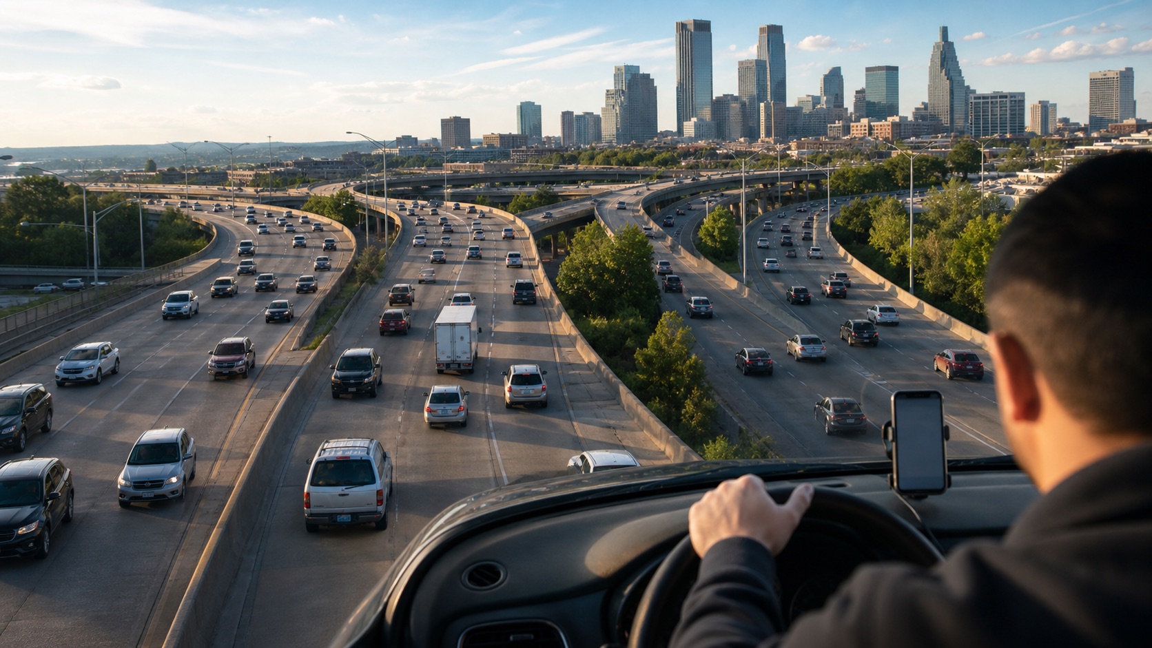
What did AI actually solve?
Changing recommendations for a small fraction of drivers made a measurable but modest dent in congestion across 10 cities. The experiment supports a practical shift from ‘fastest route for me’ toward ‘nearly as fast for me, better for the network.’ It does not show that an app can eliminate traffic, guarantee a noticeable improvement on any one commute, or avoid every neighborhood-level tradeoff.
What changed
Most navigation apps answer an individual question: which route will get this driver there fastest? A new field experiment tested a more collective approach. Researchers identified roughly 100 heavily used or congested road segments in each of 10 U.S. cities. On treatment days, Google Maps added a penalty when ranking routes through those segments—but only when an alternative stayed within a few percentage points of the fastest baseline time. That nudged some drivers toward comparable highways or arterial roads with more room.
The intervention ran for six months and directly changed recommendations for fewer than 2% of observed trips. Treatment and control switched by day for everyone in a geography, allowing researchers to compare nearby days. On the targeted bottlenecks, driving speeds increased by a city-average median of about 2%. Across the much larger set of affected roads—including streets that received diverted traffic—median speeds increased about 0.35% across all measured hours and about 0.50% at peak times. A separate trip-level analysis found a median 0.69% drop in total travel time for trips passing through affected segments. 01 / Source noteUrban congestion relief experiments through routing-app interventionsNature Cities · 2026What the source supportsResult: Median affected-trip travel time fell 0.69%; targeted-segment speed rose about 2%Keep in mindThis was a Google-run study using Google’s own navigation system and proprietary mobility data; every author was or had been affiliated with Google Research. The article was peer-reviewed, public analysis code and figure-level source data are available, and two academic coauthors also list Berkeley and Stanford affiliations. But independent researchers cannot audit the underlying trip records, and the main treatment schedule was not randomized. The experiment also covered selected segments in 10 U.S. cities, so it does not establish the same benefit in smaller cities, rural networks, or places with different road and app-use patterns.Read the original source ↗
The mechanism was dispersion, not a newly discovered shortcut. Routes that would have converged on a small number of crowded central segments were spread across a larger number of peripheral segments, each receiving fewer additional vehicles on average. The affected set included both the roads relieved of traffic and the roads receiving it, and covered about 80% of traffic in each city. That wider accounting matters: measuring only the targeted bottlenecks would make the intervention look better while hiding congestion shifted elsewhere.
What this could change for you
The individual payoff is small: a 0.69% reduction is about 13 seconds on a 30-minute trip. The useful result is that a navigation service can improve the network a little without asking most drivers to take a meaningfully slower route. Instead of sending everyone toward the same apparent shortcut, the app can distribute a small share of traffic across similar roads and make the overall system move better.
The authors estimate that an individual’s average savings amounted to about 0.25% of an affected trip’s length and only one-fortieth of ordinary day-to-day variation in trip time. In other words, most drivers would not feel the improvement on a single journey. Its value appears only when tiny changes are added across many trips—a useful test for a system-level feature, but a poor basis for promising anyone a faster commute tomorrow.
For cities and navigation providers, this offers a relatively low-cost intervention that does not require a new lane, toll, or traffic signal. It also exposes a tradeoff worth making visible to drivers: the route that is fractionally best for one car may not be best once thousands of other cars receive the same advice. The paper’s result supports carefully bounded, network-aware routing—not an unrestricted license for apps to divert traffic through residential streets. The experiment kept alternatives within the same road classes and close to the fastest travel time.
From research to everyday use
Can you use this yet?
This brief establishes a result in the study’s setting. A consumer-ready version has not been verified here. Applying the finding elsewhere would require access to the relevant tools or data and testing under those conditions.
Check the study’s limitsWhat it does not prove
This was a Google-run study using Google’s own navigation system and proprietary mobility data; every author was or had been affiliated with Google Research. The article was peer-reviewed, public analysis code and figure-level source data are available, and two academic coauthors also list Berkeley and Stanford affiliations. But independent researchers cannot audit the underlying trip records, and the main treatment schedule was not randomized. The experiment also covered selected segments in 10 U.S. cities, so it does not establish the same benefit in smaller cities, rural networks, or places with different road and app-use patterns.
The gains were measured during the experiment, not over years. Faster roads can attract additional driving, which the authors identify as an open question that could erase some benefit over time. Fuel and carbon savings were modeled rather than measured at vehicles’ tailpipes, and the trip-level analysis covered only the final two months. The paper reports aggregate changes, not whether particular neighborhoods received more traffic, noise, or risk. An author correction published July 6 fixed Atlanta highway route numbers in the text; it did not change the numerical results reported here.
Primary research
Urban congestion relief experiments through routing-app interventions
Nature Cities · 2026 · DOI 10.1038/s44284-026-00443-x